SATELLITE DATA STORE

Find the Satellite Data You Need

Browse archive imagery, request new collections, and access analysis-ready data for your project.

CATALOGUE

Quick Categories
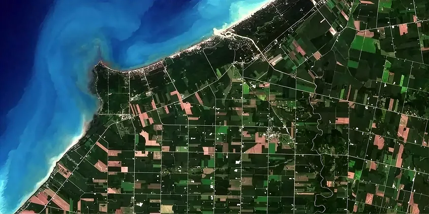
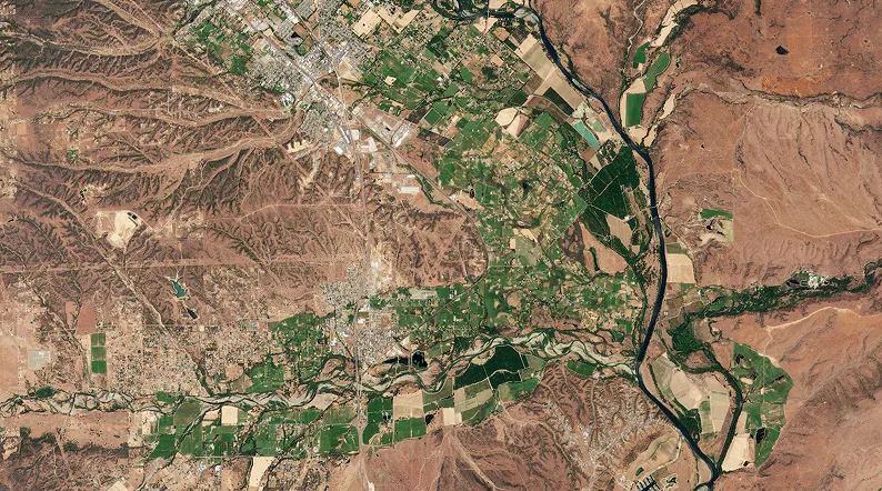
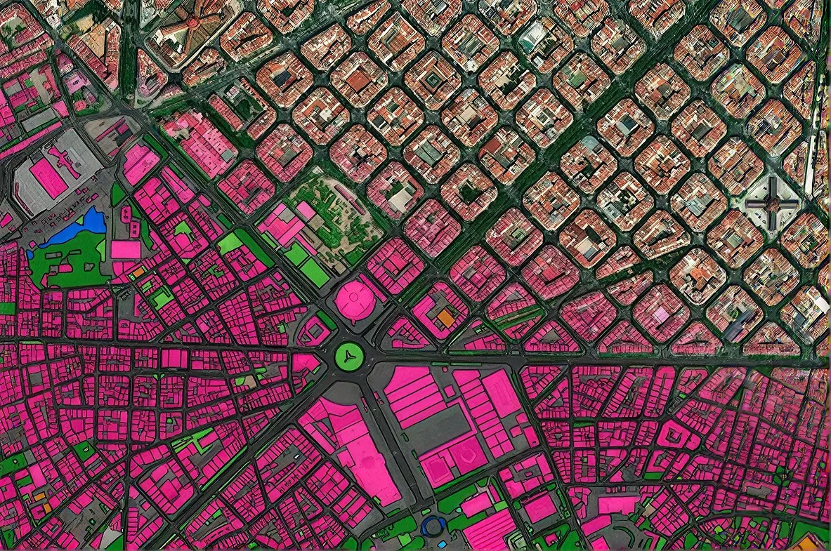
Optical Imagery
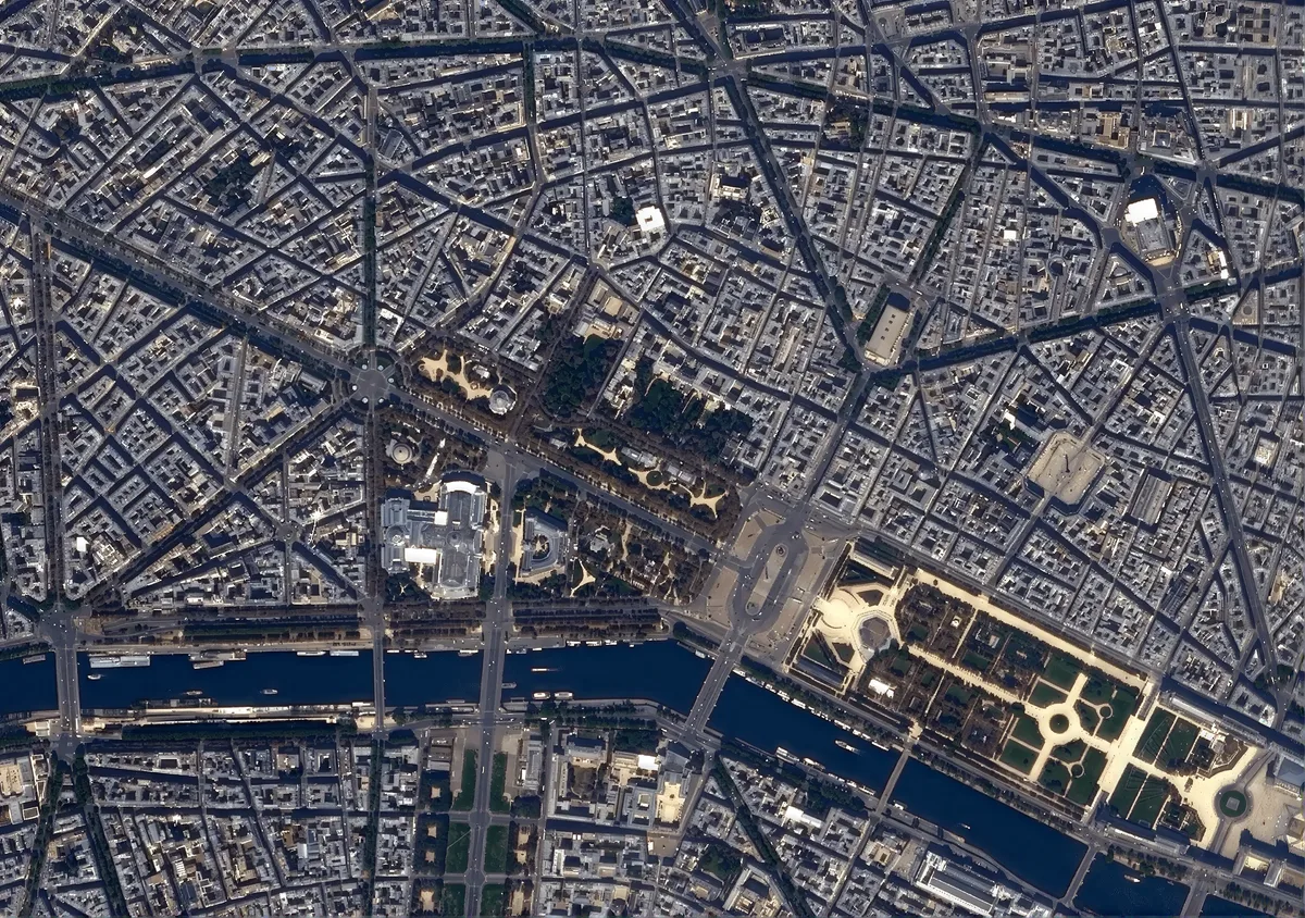
High-resolution satellite imagery in visible and near-infrared light for detailed mapping and land cover monitoring.

  • Resolution down to 25 cm
  • Archive & tasking
  • Mono & stereo

Optical Imagery

From 25 cm·Archive & tasking
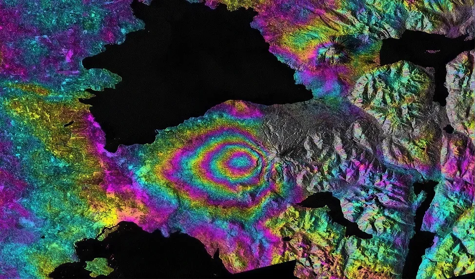
SAR Imagery

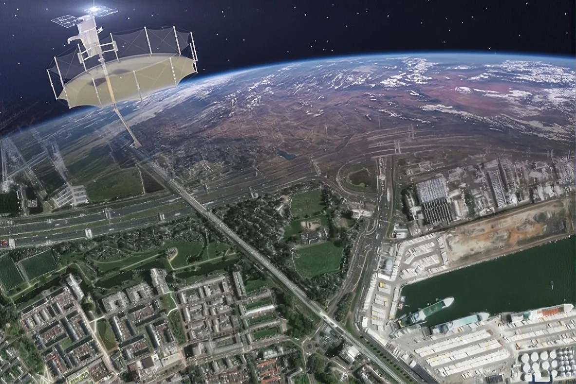
Synthetic aperture radar imagery operating day and night, in all weather conditions, for continuous monitoring.

  • X, C & L bands
  • Resolution from 0.5 m
  • InSAR compatible

SAR Imagery

All-weather·From 0.5 m
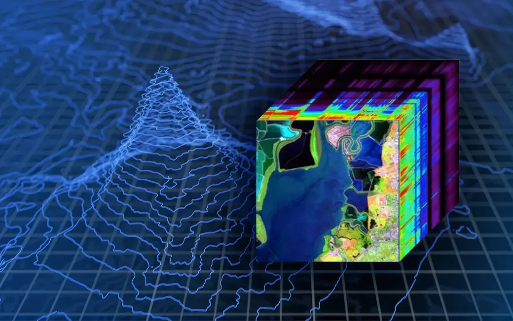
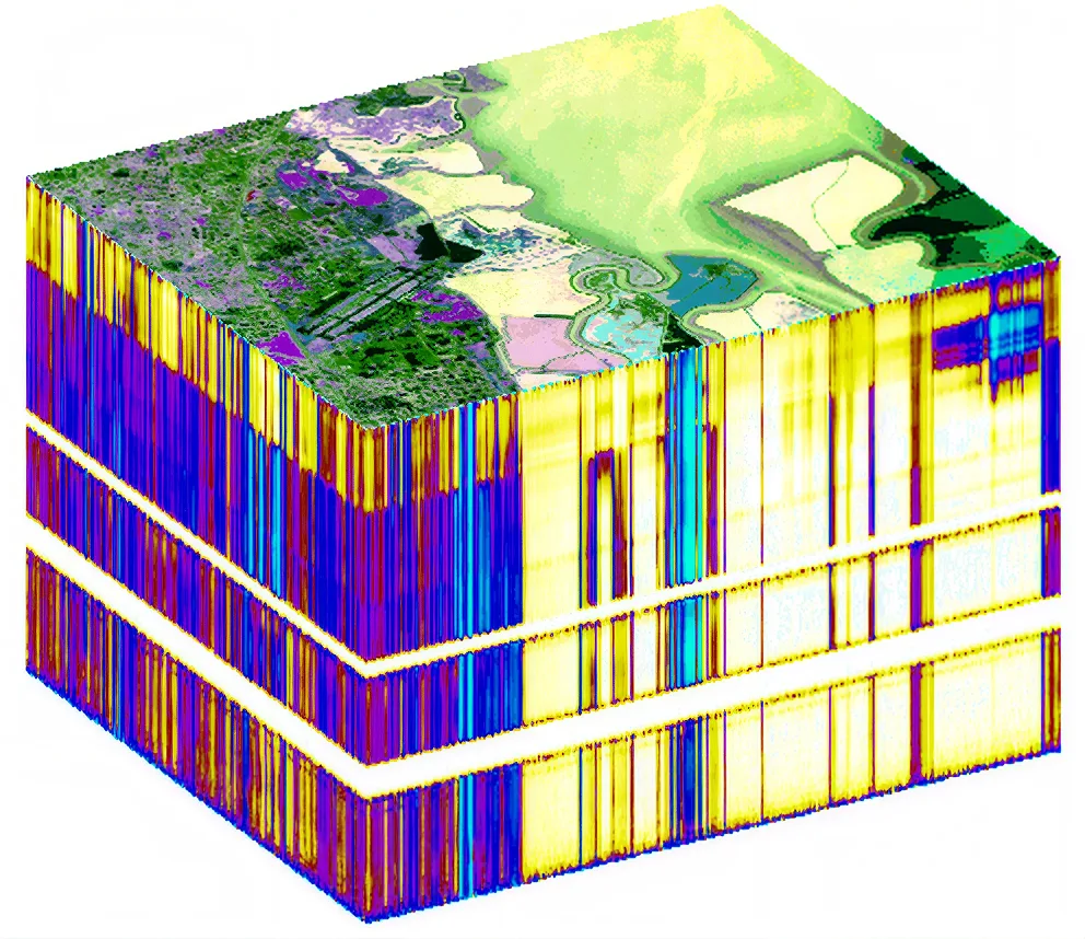
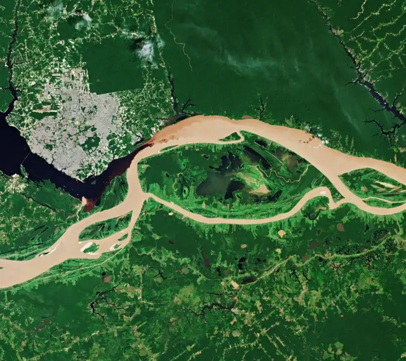
Hyperspectral Data

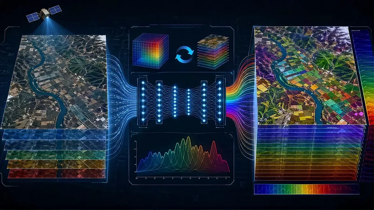
Imagery data with hundreds of narrow spectral bands for mineral analysis, vegetation health, and water quality.

  • Up to 318 spectral bands
  • Radiometrically calibrated
  • Minerals, vegetation, water

Hyperspectral Data

318 bands·Minerals & environment
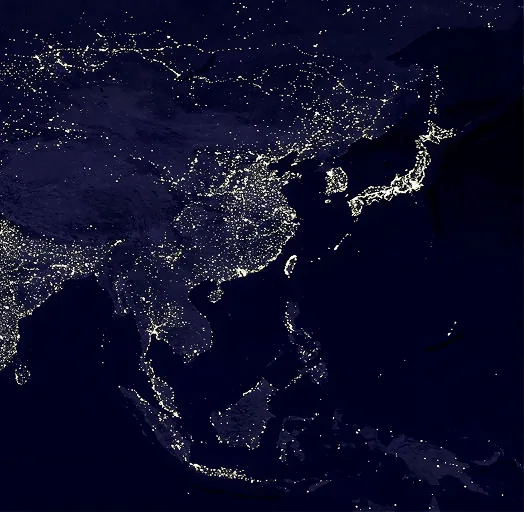
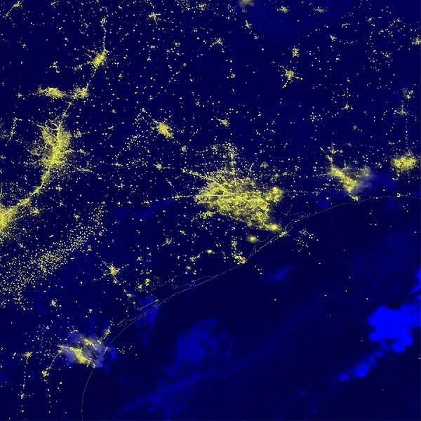
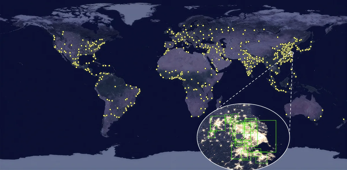
Nighttime Imagery

High-resolution nighttime satellite imagery for urban activity mapping, electrification tracking, and economic analysis.

  • 1–5 metre resolution
  • RGB nighttime colour
  • Video capability

Nighttime Imagery

RGB·Video capability
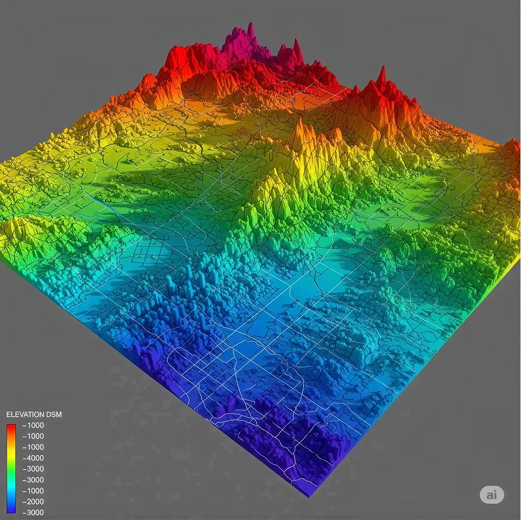
Elevation and 3D

Digital surface and terrain models derived from stereo and SAR imagery for topographic analysis and infrastructure planning.

  • DSM & DTM
  • Stereo & tri-stereo
  • Ortho-rectified

Elevation & 3D

DSM & DTM·Stereo & tri-stereo
PRODUCTS

Recommended Data Products

Archive & tasking
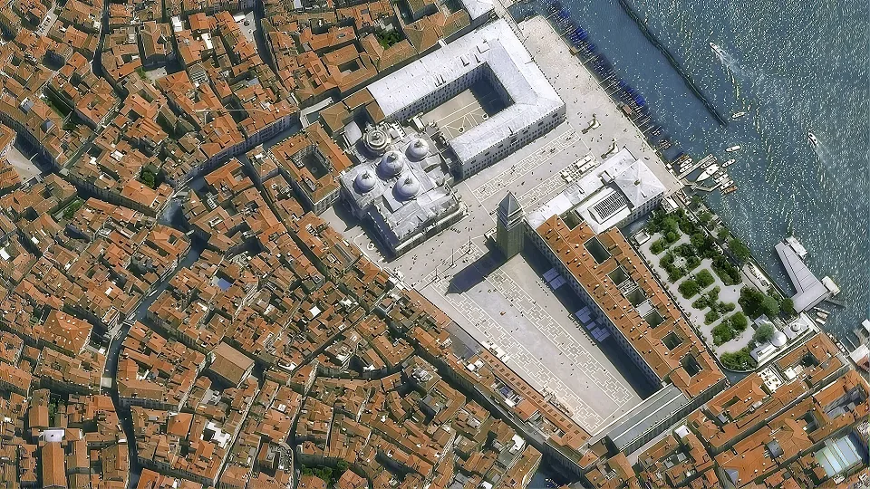
25-30 CM Optical Imagery

Best suited for: Infrastructure mapping, building extraction, land administration, urban development monitoring.

  • 25–30 cm resolution
  • Global coverage
  • Delivery in 24–48 hours
  • GeoTIFF + XML/JSON metadata

25–30 CM OPTICAL IMAGERY

25–30 cm resolution·Global
Archive & tasking
50-80 CM Optical Imagery

Best suited for: Urban planning, infrastructure and land monitoring.

  • 50–80 cm resolution
  • Global coverage
  • Delivery in 24–48 hours
  • GeoTIFF + XML/JSON metadata

50–80 CM OPTICAL IMAGERY

50–80 cm resolution·Global
Archive
2-30 M Wide-Area Imagery

Best suited for: Agriculture, forestry and regional monitoring.

  • 2–30 m resolution
  • Global coverage
  • Delivery in 24–72 hours
  • GeoTIFF + XML/JSON metadata

2–30 M WIDE-AREA IMAGERY

2–30 m resolution·Global
Archive & tasking
SAR Radar Imagery

Best suited for: Synthetic aperture radar imagery operating day and night, in all weather conditions, for continuous monitoring.

  • 0.5–3 m resolution
  • Global coverage
  • Delivery in 2–3 days
  • GeoTIFF, SLC, GRD + metadata

SAR Imagery

0.5–3 m resolution·Global
Tasking
Hyperspectral Imagery

Best suited for: Imagery data with hundreds of narrow spectral bands for mineral analysis, vegetation health, and water quality.

  • 5–30 m resolution
  • Regional coverage
  • Delivery in 3–5 days
  • ENVI, GeoTIFF + metadata

Hyperspectral Data

5–30 m resolution·Regional
Archive & tasking
Nighttime Imagery 1M-5M

Best suited for: High-resolution nighttime satellite imagery for urban activity mapping, electrification tracking, and economic analysis.

  • 1–5 m resolution
  • Global coverage
  • Delivery in 24–48 hours
  • GeoTIFF + XML/JSON metadata

Nighttime Imagery

1–5 m resolution·Global
SOLUTIONS

Satellite Data Across Industries

Discover how high-resolution imagery drives actionable insights across diverse sectors.

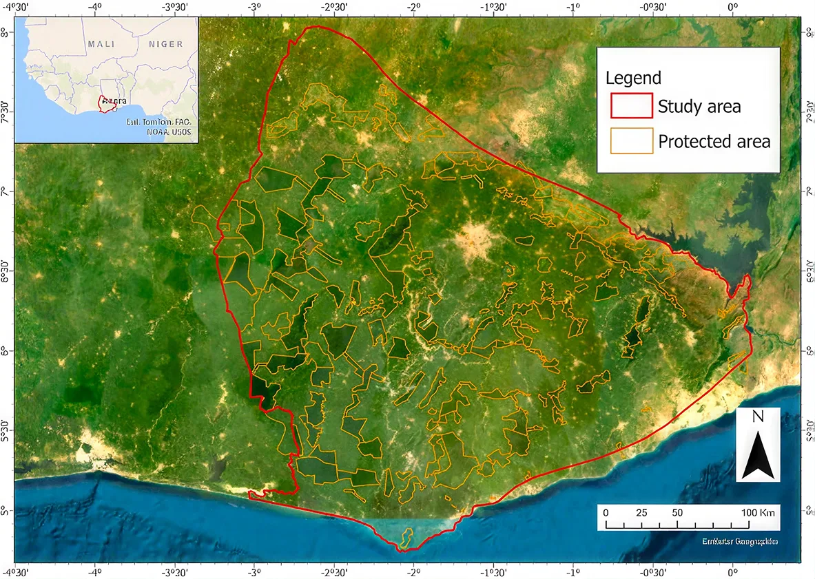
Agriculture & Food Security

From seeds to satellites — how satellite data supports crop monitoring, yield prediction, and food security across Ghana.

Recommended Datasets:Optical, SAR, Hyperspectral

Mining & Natural Resources

How satellite data can help to mitigate the impact of mining — monitoring land change, environmental compliance, and resource exploration.

Recommended Datasets:Optical, SAR, Hyperspectral

Infrastructure & Construction

Detailed use cases and demo videos will be available shortly. Check back to see how our data supports this industry.

Recommended Datasets:Optical, SAR, Hyperspectral

Forestry & Environmental Monitoring

Detailed use cases and demo videos will be available shortly. Check back to see how our data supports this industry.

Recommended Datasets:Optical, SAR, Hyperspectral

Urban Planning & Land Administration

Detailed use cases and demo videos will be available shortly. Check back to see how our data supports this industry.

Recommended Datasets:Optical, SAR, Hyperspectral

Disaster Risk & Emergency Response

How satellite data is used to monitor flooding from space — enabling early warning, damage assessment, and emergency planning.

Recommended Datasets:Optical, SAR, Hyperspectral

Ready to Find the Right Satellite Data?

Explore available imagery, review sample data and continue to ECURS when you are ready to request a quotation or place an order.

Mr. Henry Baffoe