We turn Ghana's geography into decision-ready intelligence. You do not need to understand geospatial technology. You need to be facing a decision where location, land, climate, infrastructure, or movement affects the outcome.
Location Intelligence
Eliminate location risk before capital is committed with spatial analysis.
Location Intelligence
Eliminate location risk before capital is committed with spatial analysis.
Risk Mapping
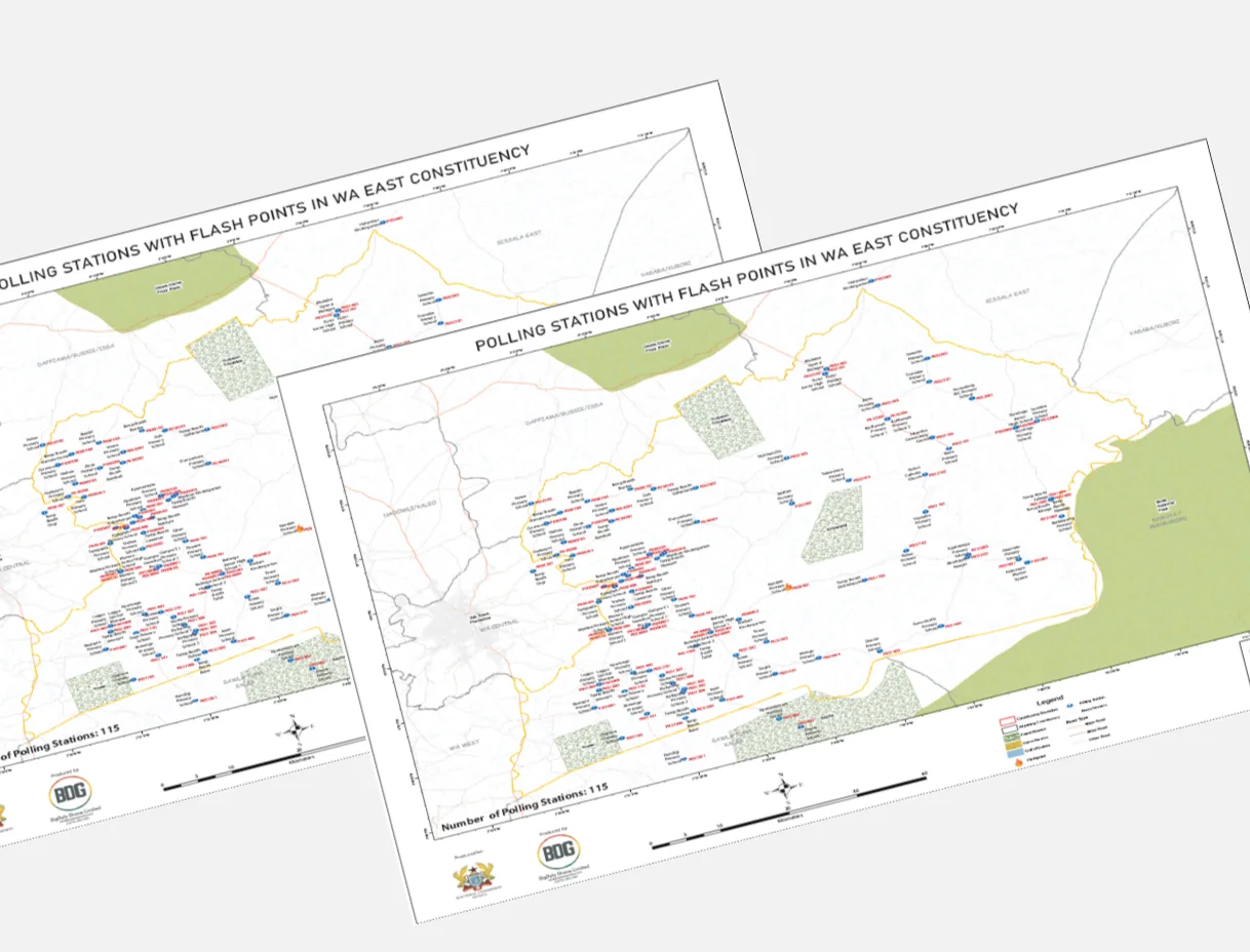
Map flood zones, encroachment and infrastructure gaps others miss.
Risk Mapping
Map flood zones, encroachment and infrastructure gaps others miss.
Data-Driven Insights
Turn 8 years of spatial data into decisions your competitors can't make.
Data-Driven Insights
Turn 8 years of spatial data into decisions your competitors can't make.
Ghana Coverage
National-scale spatial platforms covering every region of Ghana.
Ghana Coverage
National-scale spatial platforms covering every region of Ghana.
The master idea never changes: your most expensive decisions deserve better intelligence. The problem, the proof, and the call to action change by audience. Below is how we serve each of our five core sectors.
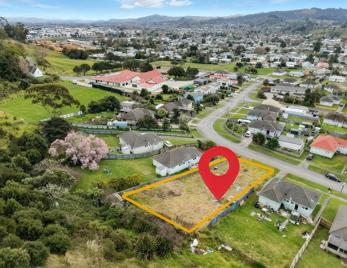
Real Estate & Property Development
The Decision: Land commitments made without spatial due diligence.
Flood-risk intelligence, terrain suitability, infrastructure scoring, and feasibility assessments — revealing what site visits cannot.
- Site suitability & flood-risk mapping
- Infrastructure proximity analysis
- Urban growth prediction
- Spatial risk profiling
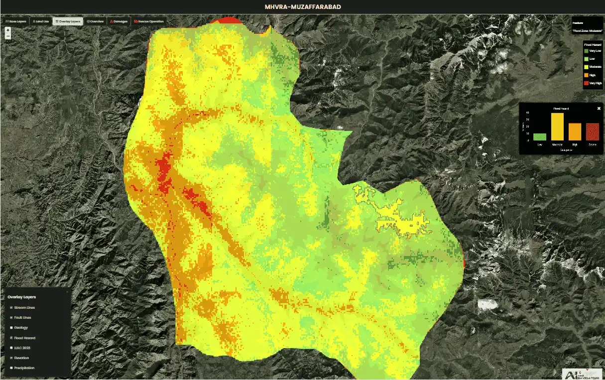
Financial Institutions
The Decision: Portfolios carry geographic and climate risk invisible to current systems.
Spatial risk intelligence for banks, investment funds, and development finance — revealing concentration risk, climate exposure, and location-based credit inputs.
- Portfolio climate exposure mapping
- Collateral location intelligence
- Branch/ATM network optimisation
- Location-based credit scoring

Insurance Companies
The Decision: Policies priced without understanding the spatial risk of the asset or area.
Granular spatial risk intelligence for better pricing, lower loss ratios, and faster underwriting — tied to geography.
- Flood, fire & climate hazard mapping
- Spatial claims & loss pattern analysis
- Risk-based pricing & portfolio stress testing
- Parametric insurance trigger modelling
Mining & Extractives
The Decision: Concession monitoring relies too heavily on field visits.
Satellite-based monitoring for land disturbance, environmental compliance, and rehabilitation — across difficult terrain.
- Concession boundary monitoring
- Environmental compliance tracking
- Land disturbance detection
- Rehabilitation progress mapping
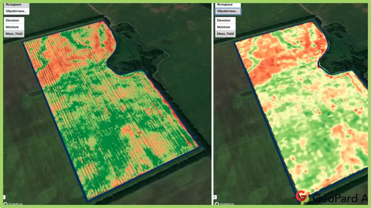
Agribusiness
The Decision: Agricultural investment made without spatial evidence.
Yield prediction, soil analysis, irrigation planning, and supply-chain intelligence powered by satellite and climate data.
- Yield estimation & prediction
- Soil and terrain suitability
- Irrigation & water analysis
- Supply-chain route optimisation
Intelligence delivered how you need it, when you need it
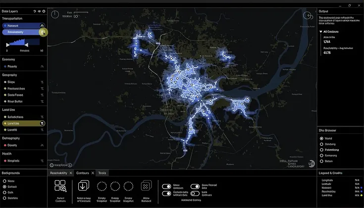
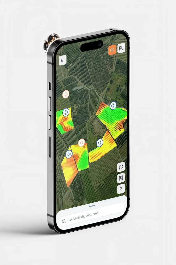
Our service ecosystem is built on three integrated pillars. Each exists to serve a step in the decision chain — from raw data to actionable intelligence to the decision-maker’s hands.
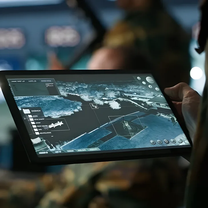
Intelligent Data Operations (Geospatial Agents)
When your spatial data is scattered, inconsistent, or locked in unusable formats, it slows down critical operations. We solve this by combining human expertise with AI automation to instantly clean, validate, and enrich your datasets. From high-precision annotation to robust data pipelines, we feed clean, analysis-ready intelligence directly into your decision systems. This accelerates your time-to-insight and frees your internal teams to focus on strategic work, rather than wrestling with data.

Ready to decide better?
Tell us what you are working on. We will show you what the data says.